
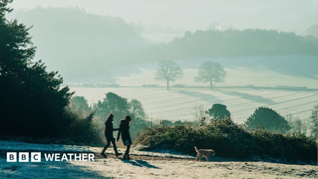
Surrey Hills at sunrise during heavy frost
Published45 minutes ago
Much of the UK has experienced a widespread frost overnight – with temperatures dropping as low as -10.6C in some areas.
Northern areas have borne the brunt of the chill with the lowest temperature recorded at Tulloch Bridge.
Following the cold and frosty start, dry and sunny weather will dominate across many parts of the UK over the weekend, once any patchy fog clears – although rain will arrive in some southern and western areas on Sunday.
Cold health alerts, external issued by the UK Health Security Agency (UKHSA) for northern England have been extended until Tuesday morning.
Arctic air spreads across most of the UK early on Saturday morning with a milder, Atlantic air mass in the south-west.
Northern and central areas of the UK will stay chilly over the weekend with highs in some parts of Scotland and northern England reaching only 4C on Saturday.
More widely, afternoon temperatures in most of central and eastern England, as well as Northern Ireland, will tend to hover around 7-10C.
The yellow cold health alerts issued by the UKHSA, in conjunction with the Met Office, cover north-west and north-east England as well as Yorkshire and the Humber. They have been extended and are now in place until 09:00 GMT on Tuesday.
They warn of the risk of minor impacts on health and social care services, with greater use of healthcare services by vulnerable people – who will face an increased risk to life.
Saturday will be a chilly day across northern England and Scotland while the rest of the country has temperatures around average.
Sunny skies for most – but not all
While most places will enjoy a largely sunny weekend thanks to the clear Arctic air, which has spread across the UK from the north, a weather front will begin to nudge into parts of south-west England and Wales bringing something of a change.
It means cloud and outbreaks of persistent rain will affect the far south-west of Wales, along with southern and western parts of England, on Sunday.
This will also usher in some milder air with temperatures likely to climb to 12-14C in the far south-west, in stark contrast to the rest of the country.
The greatest chance of rain will be in western and southern areas on Sunday
What will next week bring?
The UK will find itself in something of a battleground between high pressure, generally centred to the north and the east, and then rain and strengthening winds from the Atlantic.
This means the greatest chance of rain will – initially – be in western and southern areas with drier and sunnier conditions expected further north and east.
Later in the week there are signs from computer weather models that outbreaks of rain will make more progress eastwards.
Northerly winds will be replaced by a more easterly airflow. Temperatures are likely to be just below the seasonal average in most locations.
If the air is cold enough when weather fronts arrive it is possible that some rain could turn to snow over high ground, especially in the north of the UK, but there is a lot of uncertainty about that part of the forecast.
You can keep up to date with the forecast where you are by checking BBC Weather online or the app.
منبع: بی بی سی